We provide strategic solutions by utilizing imaging science, systems engineering, computer science, and geospatial technical consulting services.

We Bring
Sensors To Life.

We provide strategic solutions by utilizing imaging science, systems engineering, computer science, and geospatial technical consulting services.

Trusted By

Item 1
Item 2
Item 3
Item 4
Item 5
Item 6

"GeoThinkTank provided essential data- and analysis-driven support for sensor performance and requirement development for the nation’s newest geostationary weather satellite constellation."

Joel McCorkel
Former GeoXO Flight Project Scientist
NASA’s Goddard Space Flight Center

*The contents of this message are mine and
do not necessarily reflect any position of NASA

Our Capabilities

Supporting The GeoXO Program's Mission With Data-Driven Insight

GeoThinkTank LLC partnered with NOAA’s GeoXO Program to accelerate the development of next-generation U.S. geostationary environmental satellite capabilities. Our work bridged the gap between complex engineering requirements, scientific objectives, and end-user needs through rigorous modeling, analysis, and technical consulting. We delivered end-to-end instrument performance simulations—from engineering specifications to final data products—enabling informed trade-off analyses and objective-driven decision support. Our contributions included focused trade studies, calibration and validation (cal/val) strategies, end-to-end image chain analyses, and the development of comprehensive science traceability matrices. These efforts empowered stakeholders to make evidence-based decisions with confidence, ensuring the alignment of future systems with national environmental monitoring goals. Summary Value:


  • End-to-end instrument modeling and simulation to evaluate performance impacts from design to data products.
  • Data-driven trade studies enabling informed decisions across engineering and science priorities.
  • Science traceability matrix development connecting satellite requirements to user outcomes.
  • Comprehensive cal/val and image chain analysis ensuring system readiness and scientific integrity.
System Design Confidence
0 %
Faster Trade Study Execution
0 X
Critical Instruments Evaluated
0 +
Stakeholder Alignment
0 %

Validating Satellites From The Stratosphere

GeoThinkTank supported a critical airborne science campaign aimed at validating the performance of next-generation satellite instruments, including the Advanced Baseline Imager (ABI) and Geostationary Lightning Mapper (GLM). In our role as Project Manager and technical support we were responsible for coordinating a diverse team of government, industry, academic, and international partners to ensure mission success, while also providing extensive subject matter technical expertise. The team successfully achieved independent validation of the satellite data using highly specialized high-altitude aircraft campaigns integrated with a host of well-characterized reference sensors. This allowed for precise alignment between airborne and satellite perspectives—improving confidence in environmental data that is relied upon for everyday weather forecasting, tracking hurricanes, monitoring the Earth’s atmosphere, and aiding commerce throughout the western hemisphere.

NASA ER-2 Aircraft Flying Altitude typically 65,000 ft
50 K Ft.
NASA ER-2 was Integrated with 9 reference instruments
0
Extensively coordinated Satellite and Aircraft validation mission (~9 weeks - ~100 flight hours)
~ 0 Wks
Next-generation operational space-based systems independently validated to ensure mission success.
0

How It Works

At GeoThinkTank, we blend deep technical expertise with strategic execution to deliver innovative solutions—from system design to mission-ready performance. Here’s how we bring your vision to life.

01.

Strategic Intake & Assessment

We begin with a focused consultation to understand your goals, challenges, and current systems. Whether you’re launching a new mission or optimizing an existing program, we align our approach with your priorities.

02.

Expert-Led Solution Design

Our team applies deep subject matter expertise across imaging science, systems engineering, data engineering, and geospatial analysis to craft tailored solutions. We combine technical precision with strategic foresight to solve complex problems efficiently

03.

Implementation & Support

From high-level strategy to hands-on execution, we support integration, testing, data analysis, and project management every step of the way. We become an extension of your team, delivering with the same level of ownership and urgency. 

04.

Insight & Optimization

We don’t just deliver reports—we provide actionable insights that evolve with your mission. Our ongoing support ensures sustained performance, informed decision-making, and long-term success.

01.

Identify the Data Need

We start by understanding the specific environmental questions or operational challenges you’re facing—whether it’s for fieldwork planning, risk mitigation, or real-time decision support. This ensures our solutions are purpose-built for your mission.

02.

Configure Data Pipelines

Using our custom-built geospatial data engine, we design AI/ML-powered pipelines that pull from trusted weather, oceanic, and environmental data sources. These pipelines are tailored to your region, use case, and delivery preferences.

03.

Actionable Insights

We transform raw data into intuitive visualizations, alerts, or predictive models—delivered in the format that works best for your team. Whether mobile, dashboard, or API-driven, you get real-time intel when it matters most.

04.

Refine & Evolve

As conditions and priorities shift, we iterate. Our system continuously adapts through feedback loops, user behavior, and model performance to keep insights relevant, accurate, and impactful.

01.

Strategic Intake & Assessment

We begin with a focused consultation to understand your goals, challenges, and current systems. Whether you’re launching a new mission or optimizing an existing program, we align our approach with your priorities.

02.

Expert-Led Solution Design

Our team applies deep subject matter expertise across imaging science, systems engineering, data engineering, and geospatial analysis to craft tailored solutions. We combine technical precision with strategic foresight to solve complex problems efficiently.

03.

Implementation & Support

From high-level strategy to hands-on execution, we support integration, testing, data analysis, and project management every step of the way. We become an extension of your team, delivering with the same level of ownership and urgency.

04.

Insight & Optimization

We don’t just deliver reports—we provide actionable insights that evolve with your mission. Our ongoing support ensures sustained performance, informed decision-making, and long-term success.

Advancing UAS-Based Northern Fur Seal Monitoring For NOAA

GeoThinkTank partnered with NOAA Fisheries to pioneer the use of spectral imaging for monitoring Northern Fur Seal (NFS) populations in remote regions of Alaska. As part of this effort, we conducted the first-ever collection of spectral field measurements of NFS – capturing data from both Mystic Aquarium and their native habitats in Alaska. This foundational dataset enabled in-depth spectral analysis, modeling, and simulation to identify optimal sensing strategies. The result was a data driven methodology designed to ensure high quality repeatable methods for NFS surveys in their remote environments. Our findings led to key recommendations that informed NOAA’s long-term strategy for NFS monitoring—helping NOAA advance the state-of-the-art of their mission.

Collected First-Ever Spectral Measurements of NFS and Their Habitats

Conducted in-depth spectral analysis on collected spectra

Data driven evaluation of Target vs. Background Detection Performance

Delivered Actionable Recommendations Based on Deep Expertise that Informed NOAA’s future survey protocols

Learn AI. Lead with Confidence.

AIThrive.com is a micro-learning platform designed to help professionals confidently step into the world of AI—without the overwhelm. Created by industry veteran Francis Padula, AIThrive delivers short, powerful lessons that make artificial intelligence practical, approachable, and ready to use—no tech background needed. It blends breakthrough AI insights with bold business strategy, giving you the tools to turn ideas into real-world results.

Learn in Minutes, Not Months

Each 3–5 minute lesson delivers focused, actionable insights—ideal for busy professionals who want results, not complexity.

From writing smarter emails to mapping out strategic projects, AI-Thrive shows you exactly how to apply tools like ChatGPT in your everyday work.

This isn’t just about learning prompts—it’s about unlocking efficiency, creativity, and competitive advantage in your business and life.

Why We Stand Out

At GeoThinkTank, we don’t just consult — we collaborate, innovate, and deliver with the precision trusted by agencies like NASA and NOAA.

Proven Government Expertise

With over a decade of experience supporting satellite missions, airborne systems, and environmental modeling, we’ve helped federal agencies turn complex challenges into operational success stories.

From EO/IR calibration to AI-powered environmental insights, we bring a rare combination of scientific rigor and real-world agility to every project.

We act as an extension of your team—adapting to your needs, communicating clearly, and always aligning technical execution with strategic goals.

Recent Press

Navigating the AI Revolution: A Practical Starting Point for Professionals

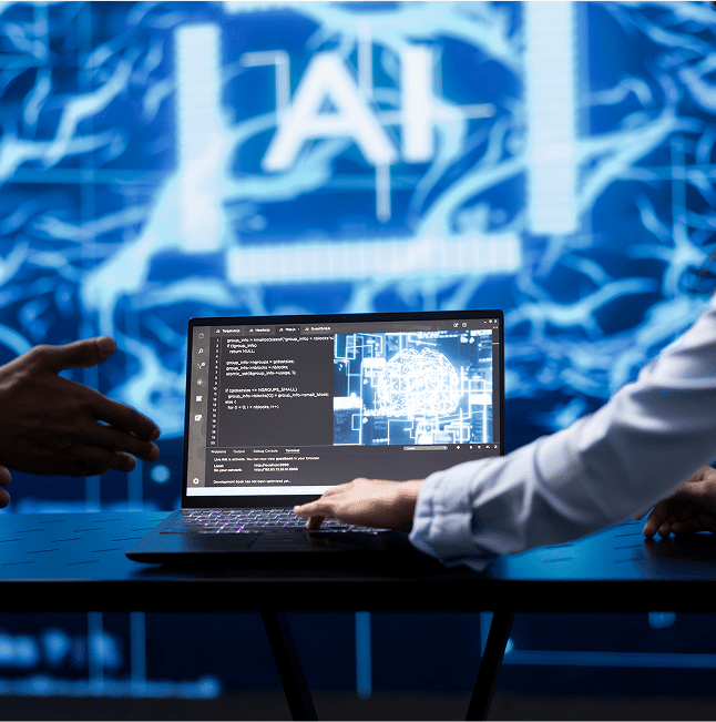
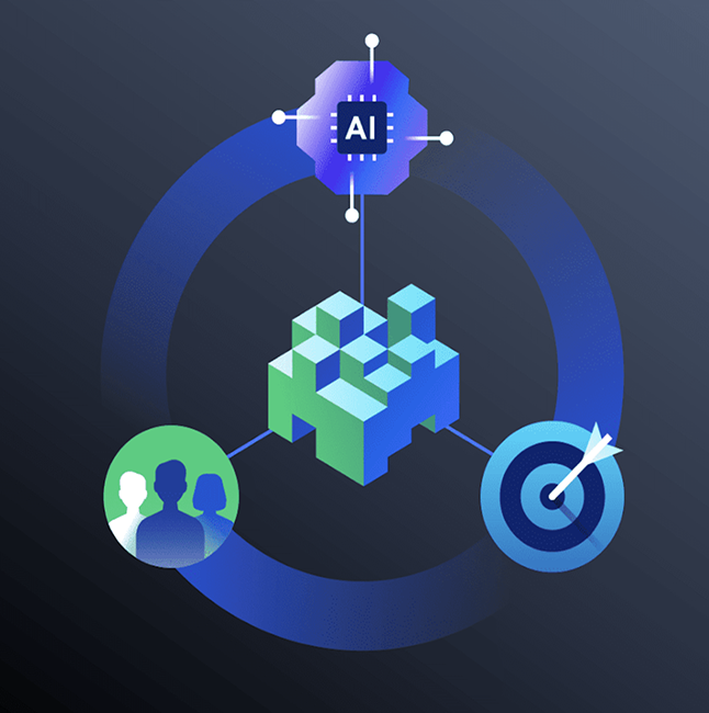
By GeoThinkTank LLC   The AI Moment Is Here—Are You Ready to Lead? Artificial intelligence is no longer a distant promise or emerging trend—it’s a strategic tool already reshaping how organizations operate, compete, and grow. From decisions made in boardrooms to day-to-day workflows, AI is influencing the trajectory of nearly every industry. Yet for many professionals, that shift creates more

read full article →

Why Real-Time Geospatial Insights Are No Longer Optional for Decision-Makers

In an era defined by rapid change and constant disruption, timely access to accurate data is no longer optional—it’s mission-critical. From sudden weather disruptions and unplanned traffic incidents to rapidly evolving supply chain dynamics, today’s operational landscape is anything but predictable. Leaders need more than just raw data—they need real-time geospatial insights that are fast, contextual, and immediately actionable.  

read full article →

AI for Entrepreneurs & Small Business Owners: Scale Smarter with Confidence

By GeoThinkTank LLC   The Competitive Edge Is Shifting—Fast Artificial intelligence is no longer reserved for Fortune 500s and tech startups. It’s quietly (and quickly) transforming how small businesses attract customers, deliver value, and scale operations. But for most entrepreneurs, knowing that AI matters isn’t the issue. The real challenge is knowing how to actually use it—without wasting time, money,

read full article →

AI Speaker for
Real-World Innovation

We bring real-world AI insight from NASA-backed missions to everyday innovation.

General FAQs

Here are some of the most common things clients ask us before getting started.

What Kind Of Organizations Do You Typically Work With?

We primarily support federal agencies like NASA and NOAA, as well as commercial aerospace, geospatial, and UAS firms. Our work spans mission-critical calibration, airborne systems, and AI-based environmental intelligence.

Yes. We’ve built our reputation in the federal space but actively support commercial clients—especially those building data-driven products, UAS platforms, or AI applications.

We offer deep technical expertise without the bureaucracy. Clients work directly with subject matter experts and get agile, mission-ready solutions with a proven track record of government trust.

Simple—book a call through our website. We’ll learn about your needs, define scope, and determine the best way to bring your vision to life.

Absolutely. We build tailored data pipelines, AI/ML models, and cloud-based tools designed for everything from environmental monitoring to operational decision support.